Tools for Ecosystem Service Modelling Training

By Ephias Mugari
For my PhD I am trying to understanding how ecosystem services are provided to people at the local level in the semi-arid areas of Botswana. I recently attended an intensive three-day training course to get a better sense of how to use different modelling tools to assess ecosystem services.
About the training
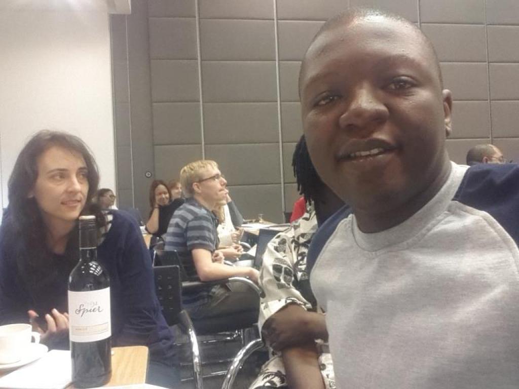
Held in November 2015, the course on ‘Integrated Ecosystem Assessment and Management’ was hosted by the Stellenbosch Institute for Advanced Studies, and jointly organised by CGIAR-WLE, SAPECS, and the Natural Capital Project (NatCap). The main goals of the training were to introduce participants to several ecosystem services tools: how they work, their capabilities and their limitations.
The course gave us basic familiarity with ecosystem services models, including how to select and run models and how to interpret/communicate their results. We practiced using different techniques of NatCap’s approach to ecosystem service assessment and using specific InVEST (Integrated Valuation of Environmental Services and Trade-offs) models to quantify ecosystem services and assess their changes over time under different scenarios. We also learnt how to use RIOS (Resource Investment Optimization System) tools to identify priority areas for resource-related activities and investments. We ran most (if not all) of these models using ArcGIS (geographical mapping and analysis software).

Applying these skills to my PhD
The course allowed me to interact and share ideas with other students and researchers working in the ecosystem services field. But we covered a lot in just three days, and this “freshman” did not grasp or fully understand everything that was thrown at him!
So, to be able to apply what I learnt to my PhD work in Bobirwa, Botswana I will have to do a few things. First, I will need to familiarise myself with GIS. I must admit I got jammed several times using this software (oh yes I did!). However, other people on the course were very positive about the benefits of using GIS with the different ecosystem models, so this is clearly a good skill for me to learn, and soon!
Second, I will need to do further hands-on training with the NatCap tools and find out what data are available for me to use. I learnt that a challenge of using tools like NatCap in a place like Bobirwa is that - before they can be applied – they require a lot of data and data processing. Acquiring these data in a data-poor region like Bobirwa would take extensive stakeholder engagement and data sharing; finding these data is an important next step for me.
Finally, during a game we played on the course I was reminded that while beneficiaries might aim to maximise the benefits they get from ecosystem services, conservationists try to pull in the other direction to minimise disturbances on the ecosystems. This balance is something I will keep in mind for my PhD too!