Global geography and geoinformatics conference highlights value of multidisciplinary approach

Ephias Mugari writes on his experience presenting research on climate change and ecosystem services at an international conference and highlights the importance of a multidisciplinary approach to ecology.
In July, I attended the first International Conference on Geography and Geoinformatics for Sustainable Development (ICGGS) in Bangkok, Thailand.
Taking place for the first time, the conference welcomed more than 40 participants. Organized by the Department of Geography at Srinakharinwirot University, it featured leading scientists from Europe, Asia and Africa. It promises to be one of the most influential conferences in the near future.
Learning from each other
The conference was a good platform for early career researchers, including myself, to learn more and create lasting networks that set the foundation for potential collaborations in future. Researchers from around the world engaged in wide-ranging discussions about the broader issues related to global warming, climate change, urbanization, natural disasters, community resilience, and natural resource management. It explored the technological advances in geoinformatics and their impacts on planning and solving global problems.There were at least 30 presentations organized into eight sessions over two days.
One of my particular interests when attending such conferences is meeting early career and senior researchers with similar research interests to mine. I have come to realize that some of the challenges I face in my work can easily be overcome by others who have been there before. Likewise, I also find myself useful to other early career researchers with whom I can share knowledge gained through my involvement in various capacity building initiatives.
Prepared to present through ASSAR's capacity building workshops
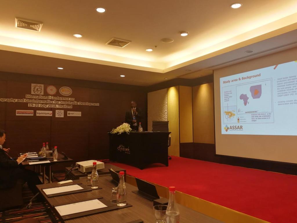
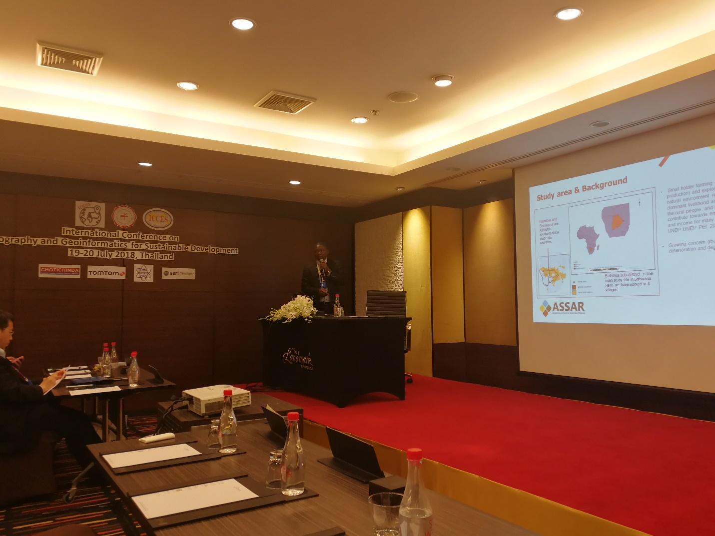
My first presentation, “Spatial and temporal vegetation responses to climate over Bobirwa Sub-District of Botswana during 1982-2015,” was during the Geoinformatics application session, which had several presentations on Geographic Information Systems (GIS), Remote Sensing (RS), web mapping, and open source GIS applications. The presentation was accompanied by some brief but thought-provoking discussion (of course, that’s interesting when you are working on similar research) -- some of which I had to follow up on over the tea-break and lunch.

Ephias Mugari presents at the first International Conference on Geography and Geoinformatics for Sustainable Development (ICGGS) in Bangkok, Thailand, July 2018. Photo credit: Sathaporn Monprapussorn.
My presentation benefited immensely from an ASSAR capacity building workshops (funded by START) I attended in Bangalore, India, in March 2017. That workshop was organized by the Ashoka Trust for Research in Ecology and Environment (ATREE) and the Indian Institute for Human Settlements (IIHS). It taught me, and at least 15 other early career and senior researchers from Africa and India, how to locate, subset and analyse freely available remotely-sensed global data on climate and vegetation productivity. Before the workshop, I had no idea about a statistical software called R, let alone running any analyses. But now I can manoeuvre and carry out several analyses on my own.
Benefits of a multidisciplinary approach
My second presentation, “Livelihood dependence on ecosystem services under a changing climate in Bobirwa Sub-District, Botswana,” was during the Natural Resources and Environment session. During this session, researchers presented on urbanization, food security, logistics and transportation, community resilience, landscape ecology and economic development. Considering the many natural scientists at the conference, this presentation was one of only a few that focused on the human component of ecosystem services, a refreshing deviation from the typical ecological lens. I felt so passionate explaining to one of the participants the importance of combining participatory processes with remote-sensing work as it improves our understanding of the entire socio-ecological system.
The conference highlighted that while land-use change is a global phenomenon it manifests in local realities with a wide range of impacts on society and the environment. In order to understand all these processes from multiple perspectives, and potentially come up with ameliorative action, it is important to employ a wide range of methods such as case-study analysis, participatory mapping, spatial analysis and land-use modelling, among others. Such research benefits immensely from the work of multidisciplinary research teams.
Ephias Mugari is a PhD candidate in Applied Ecology at the University of Botswana and is part of the Adaptation at Scale in Semi-Arid Regions (ASSAR) project. He has special research interests in the use of participatory mapping and remote-sensing techniques to understand the linkages between climate change, vegetation conditions, ecosystem services and human adaptations in data poor and semi-arid landscapes.