Learning about linking land use and land cover changes to ecosystem services

Written by Rahinatu Sidiki Alare and Ophelia Kaba-Ayamba
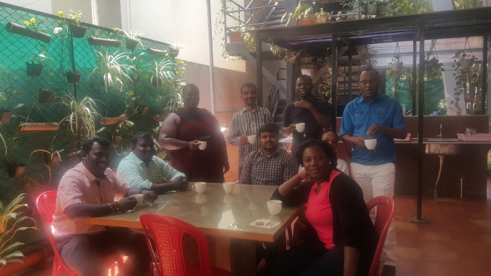
Late March 2017 saw 17 ASSAR participants from West Africa, East Africa, Southern Africa and India attend a 10-day learning workshop on Linking Land Use Land Cover (LULC) and Ecosystem Services, organised by the Ashoka Trust for Research in Ecology and the Environment (ATREE), Bangalore, and with support from START. Among the participants were Rahinatu Sidiki Alare and Ophelia Kaba-Ayamba from the Institute for Environment and Sanitation Studies, University of Ghana. Aimed at collaboratively analysing and interpreting issues related to climate change adaptation, the workshop was facilitated by Milind Bunyan, a Postdoctoral Research Fellow, and Jagdish Krishnaswamy, a Senior Fellow at ATREE with support from other ATREE and Indian Institute for Human Settlements (IIHS) staff.

What did we learn?
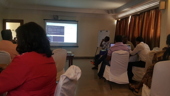
Participants were introduced to QGIS and had practical sessions of creating simple maps. This was followed up by an introduction to R programming where participants learnt how to import, visualise and analyse spatial data. Additionally, participants identified trends in vegetation using NDVI3g data and also had the opportunity work on shape files of their study areas.

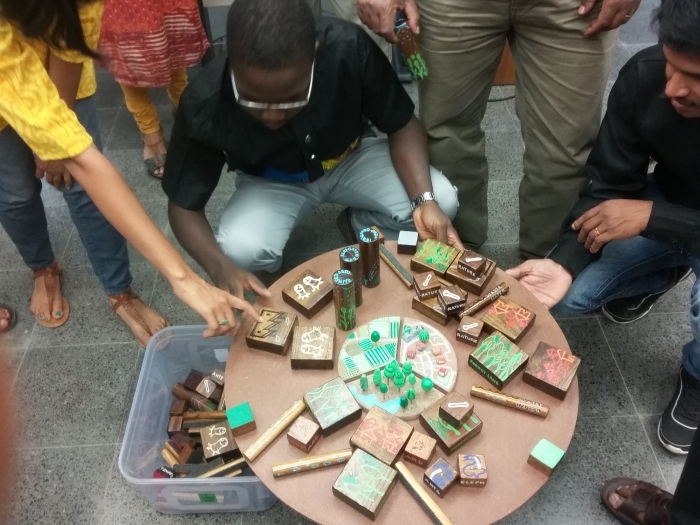
In a visit to ATREE, participants played the Tipping Point Game (see picture below) and also shared with others, ecosystem services related research activities in their respective regions. Teja Malladi, a Senior Associate at IIHS showed participants around the lakes of Bangalore and also explained the impacts of urbanisation on these lakes.

Way Forward
Participating in this workshop enhanced our capacities in analysing spatial data. Each region will be working along with Milind to analyse trends in climate and vegetation using MODIS and NDVI3g data. A well-founded plan has been made to carry out LULC research in individual regions with a publication as an output.